
After the fuss about the name change of our nearby lake died down, Peter and I went on a guided tour, exploring the shoreline. Not only did Doug Ford try to shrink the lake by dumping landfill to increase the Ontario Place parking lot. Not only did Trump try to diminish the lake by changing its name to something unmentionable. But it seems that Torontonians also shrank the lake on purpose to encourage business development. Imagine!
As I wrote in a post a couple of years ago, my life has revolved around Lake Ontario. I grew up in the Niagara area, I spent my high school years in Rochester, I went to University in Kingston, and I have lived my all adult years in Toronto. Almost full circle; only the tiny bit around Hamilton missing, but I have friends there. I truly consider it MY lake!
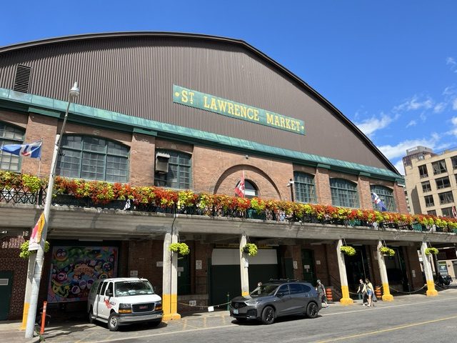
As for the Toronto shoreline, most of us have figured out that the original waterfront was located just south of Front Street. Duh. Toronto was founded in 1799 as the Town of York, and the site was chosen because the Toronto Islands were just one island which hid and protected the town from invaders. As strollers walk along Front St. today, past Meridian Hall, the St. Lawrence Market and the Distillery district, they can read the newly installed plaques which tell the story of cultural items and artifacts found along the original shoreline.
In the early days, the Esplanade was just a twinkle in a developer’s eye. And Lakeshore Blvd was more like a canoe route. But as boats arrived with cargo in the 1800’s and later, a means of transporting the cargo to other parts of Ontario was needed. So landfill created room for a road – the Lakeshore Boulevard – and then a railway route.
Business and industry continued to grow. But the rich people no longer wished to live with the noise of trains and cargo unloading. Since the car made it possible to escape, people began moving to the suburbs in Etobicoke, Scarboro and North York. Then traffic congestion caused the need for highways and so the city built the Gardiner Expressway(1966) the DVP (1966) and the 427 (1971).
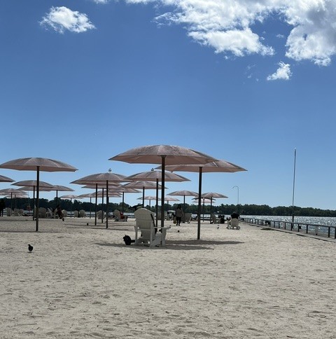
Despite the exit of residents, prime waterfront land continued to expand with industry and noise and pollution. But Torontonians were only around during working hours. For the rest of the dy and night, the waterfront was mostly silent except for the homeless and occasional deliveries. Then in 2010 things changed. In the east, landscape architect Claude Cormier designed and built Sugar Beach. This was followed by a boardwalk called Water’s Edge, some trendy restaurants, and a new water filtration system built with a park and a splash pad; Sherbourne Commons.
Meanwhile in the west, the main visitors to the waterfront were the passengers riding the island ferries. In the 70’s the city began to take notice. The Harbourfront Centre was built, and it attracted a number of community events. Then along came Ontario Place in 1971. This was followed by Yo Yo Ma’s Music Garden in 1999. For music lovers, this garden is cleverly designed with each section depicting one of Bach’s musical pieces. For garden lovers, the garden paths reveal a large variety of plants and flowers, and benches for sitting and sniffing.
Toronto now joins cities like San Francisco, Venice, Sydney and Barcelona, with a waterfront to be proud of. As long as we can keep the jets out and the tourists coming, I have many reasons to be happy when I visit MY lake.
Sue
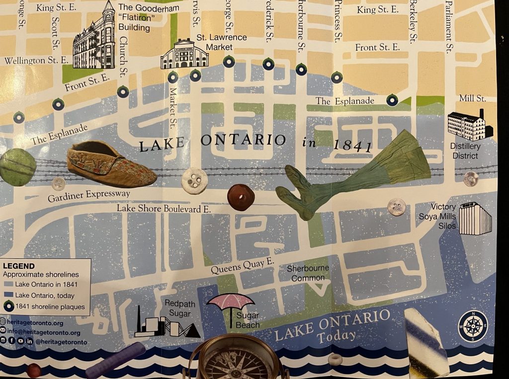
Map courtesy of Heritage Toronto

